

Workshop: Mapping Urban Information with ESRI ArcGIS,
Instructors: Mona El-Khafif (CCA California College of the Arts/ CCA URBANlab) and Richard Kos(CCSF GIS Education Center/ San Jose State University)
Date: February 13-14, 2010 (10am – 5pm)
Location: California College of the Arts, Graduate Center, San Francisco Campus
Eligibility: Open to all design students and professionals
Cost: $100 for students, $200 for professionals.
Prerequisite: A basic understanding of ArcGIS 9.3 is recommended, but not required. Participants with prior experience using ArcGIS may be asked to assist other students with in-class assignments as a shared learning experience.
Register Now!
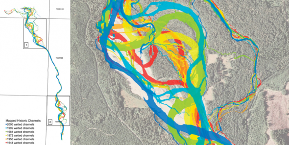
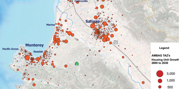
Description: During this workshop session participants will be introduced to the general applications of ESRI ArcGIS as a software tool for the collection of digital geospatial data and the analysis of complex urban environments. Geographic Information Systems (GIS)-compatible shapefiles, geodatabases and raster imagery are accessible in diverse online data archives. The workshop will teach methods for collecting and organizing a variety of geospatial data sets in order to build a GIS archive. Participants will learn to activate and use the embedded data sets for urban network analysis and Census data analysis. In the second part of the workshop, we will explore the most commonly-used tools in ArcGIS toolbox in order to identify the tools of interest to architects and urban designers for understanding and exploring the urban environment.
Software/Hardware: The class will use ESRI ArcGIS 9.3.1 with extensions. The software runs on PCs, or on Macs possessing a Windows XP, Windows Vista, or Windows 7 partition. A one year student edition of is available for participants without ArcGIS software. Please get in contact with Mona El Khafif melkhafif@cca.edu. All workshop attendees should bring their own laptop.
